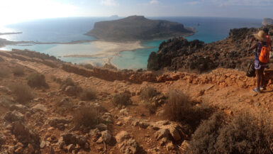
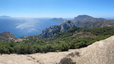
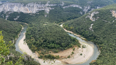
Gran Canaria is a fantastic place to go hiking. Why not take a break from the beach resorts and have a few days up in the mountains? The scenery is stunning and the views are magnificent. There are endless numbers of hikes to do in Gran Canaria, but these are three moderate ones that we did during a week’s stay there.
When to go
We visited Gran Canaria during the winter when the temperatures are perfect for hiking. These walks would be a lot more difficult to do in the midsummer heat. It is best to stick to the spring, autumn and winter seasons.
Each walk is a circuit, so you don’t need to worry about getting back to the start point. You will need to hire a car to get to the start/end points of these circular walks. The drive up to the start points is pretty spectacular.
They are all easily accessible by car from the main tourist resorts on the south of the island. The walks are all centered around the central mountain range.
You can download the GPX files and upload them to your navigation device. We use a Garmin Fenix 6 Pro watch.
San Bartholome Circuit
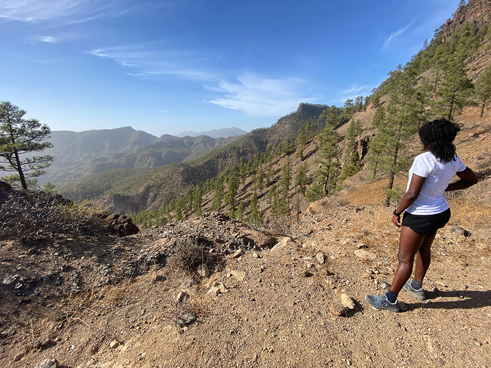
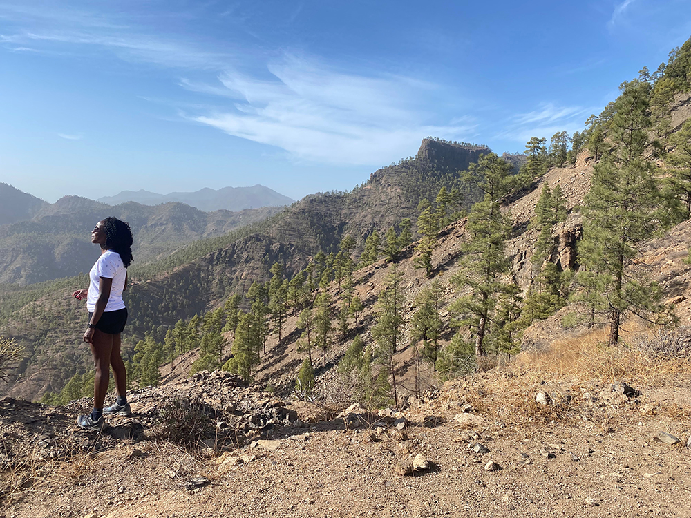
This walk starts and ends in the quiet mountain village of San Bartolome, and is the closest walk of the three to the southern resorts. It is easy to find parking at the start point. The walk begins with a long steady climb up through woodland to the first col (near a Mirador on the highway). The route then gets a lot easier as you follow a forestry road along a contour. The views are amazing.
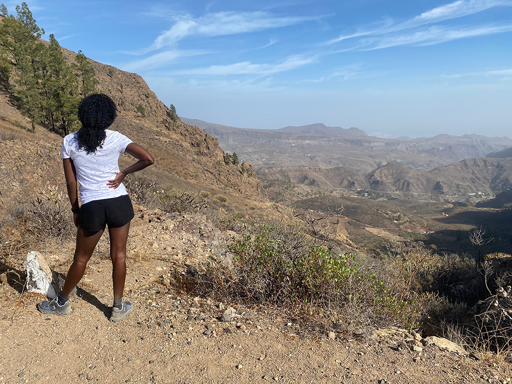
You then reach the second col where you start the descent back to the village. The descent is down a quite steep but well-maintained rocky path.
We only saw a couple of other walkers all day long.
San Bartholome Circuit
- Distance Instructions
- Distance 9 km
- Time 0 s
- Speed 2.7 km/h
- Min altitude 0 m
- Peak 0 m
- Climb 489 m
- Descent 487 m
Roque Nublo loop
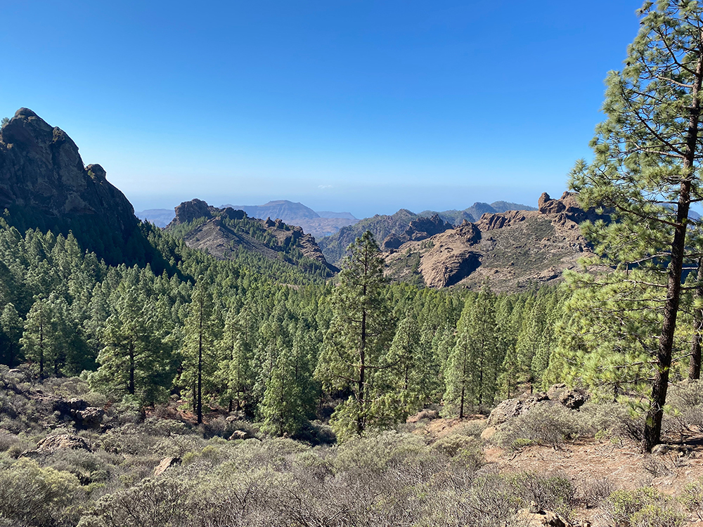
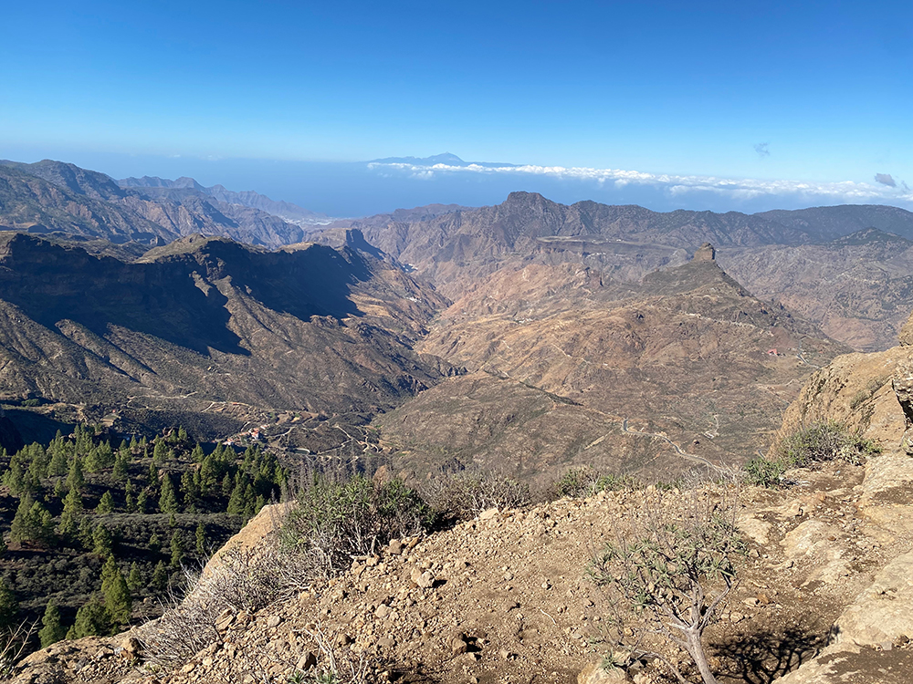
Roque Nublo is a tall free-standing rock column, the remains of an ancient volcano. It is easily accessible and makes for a pleasant short hike from the road. Despite being quite busy here, it is definitely worth a look as it is quite an easy walk up to the plateau on which it stands. The views from there are absolutely superb. You can see half of the island from here, the coast is visible to the northwest, west, and southwest.

The start & end point of this walk is just on the main road. Parking may be an issue during busy times. There is a roadside stall selling snacks & drinks.
If you want to extend this short walk into a longer circuit and get away from the crowds, then follow the GPX route below. This circuit is not as spectacular as the other two walks, but the views from the top are really good.
The walk follows a route along a narrow path following a contour, before dropping down through the forest into a valley and back up to the main road, bringing you out right behind the roadside snack stall.
Roque Nublo loop
- Distance Instructions
- Distance 5 km
- Time 0 s
- Speed 2.6 km/h
- Min altitude 0 m
- Peak 0 m
- Climb 614 m
- Descent 611 m
Pico De Las Nieves loop
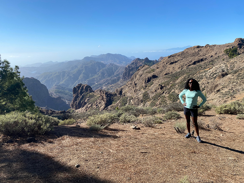
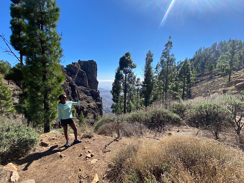
The start & end point for this incredible walk is the same as the Roque Noblo walk above. This walk has everything. The halfway point is at the end of a short hike up to the observatory where tour groups stop to admire the views. Here you can buy snacks and drinks and there is a lovely viewpoint to have a picnic. THe observatory is at one of the highest points on Gran Canaria, so the views are impressive.
Although it is usually quite busy at the observatory, most people stay near the car/coach so you won’t see many people during the walk.

Pico De Las Nieves loop
- Distance Instructions
- Distance 8 km
- Time 0 s
- Speed 2.1 km/h
- Min altitude 0 m
- Peak 0 m
- Climb 645 m
- Descent 651 m


